Technologies
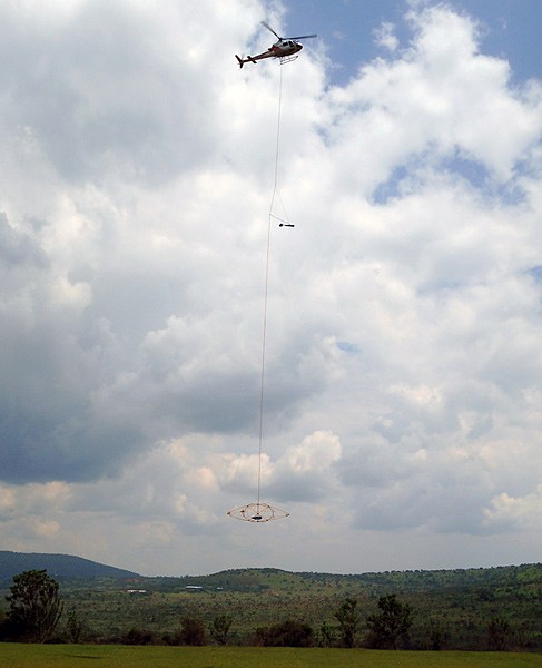
Airborne geophysical technology EQUATOR
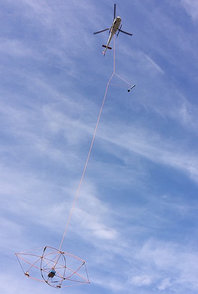
Airborne Low-Frequency Electromagnetic System EM-4H
Transmitting unit
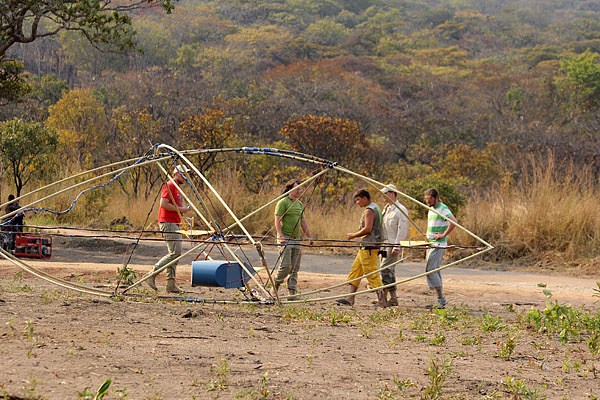
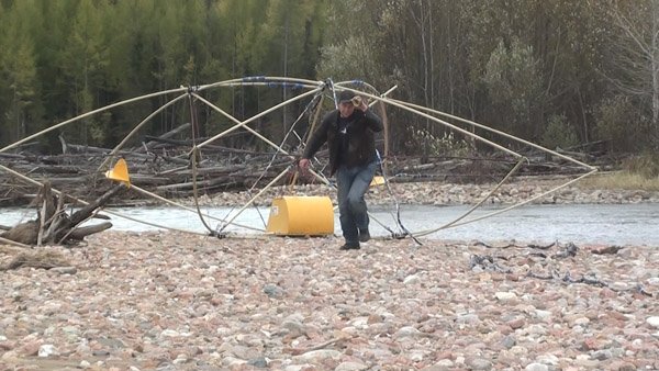
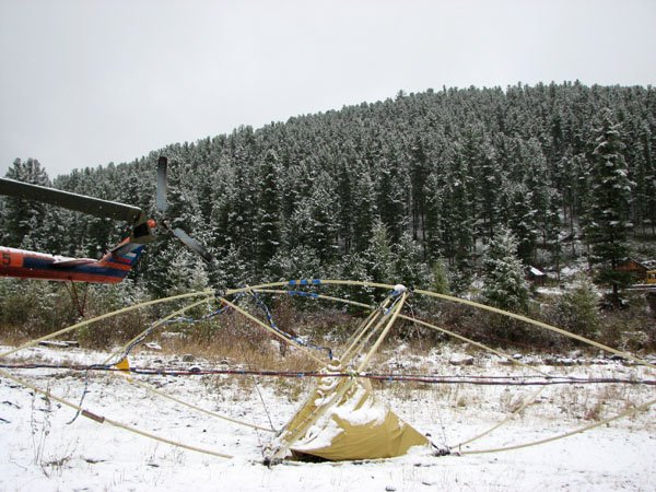
Towed Bird
Transmitter and compensator loops
Cable
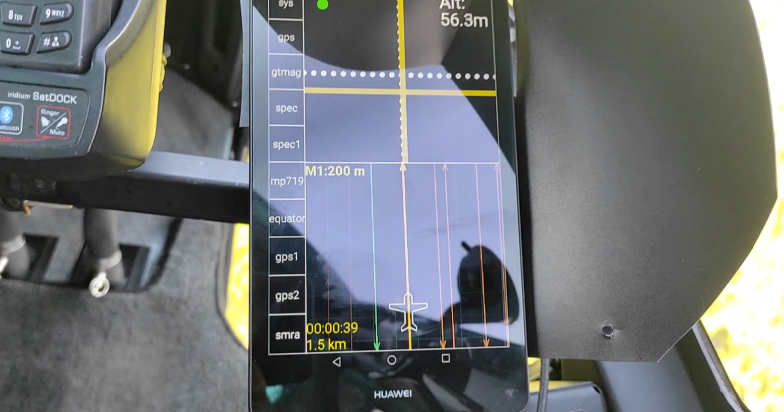
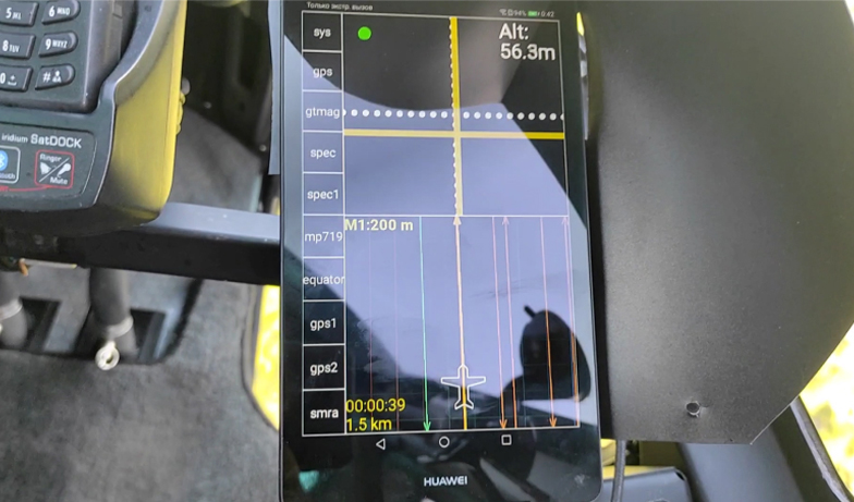
Onboard Data Control and Navigation System NAVDAT
Magnetometers GT-MAG
Aeromagnetic Compensation Software REINMAG
Airborne Infrared Scanner SCAN-T
Resources
Gallery
Our Contacts
EN
RU
+7 499 344-0424
Тechnologies
Airborne geophysical technology EQUATOR
Frequency Domain Electromagnetic System EM‑4H
Transmitting unit
Towed Bird
Transmitter and compensator loops
Cable
Onboard Data Control and Navigation System NAVDAT
Magnetometers GT‑MAG
Aeromagnetic Compensation Software REINMAG
Airborne Infrared Scanner SCAN‑T
Resources
Gallery
Our Contacts
EN
RU
+7 499 344-04-24
Main
/
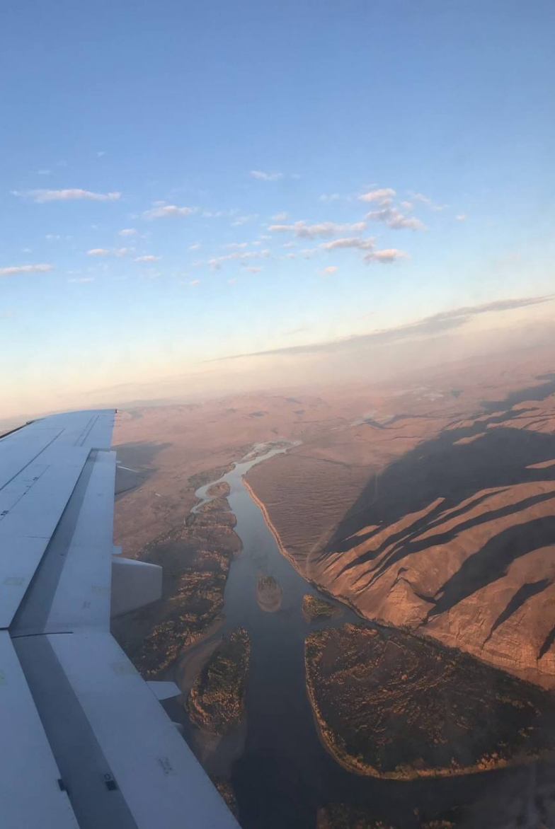
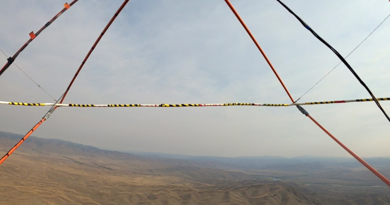
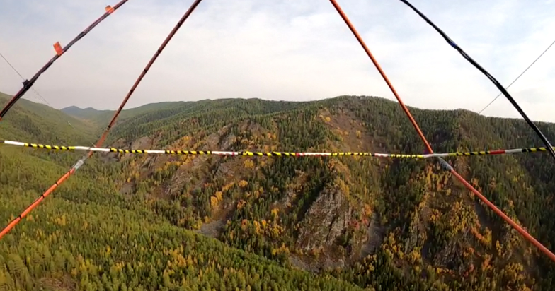
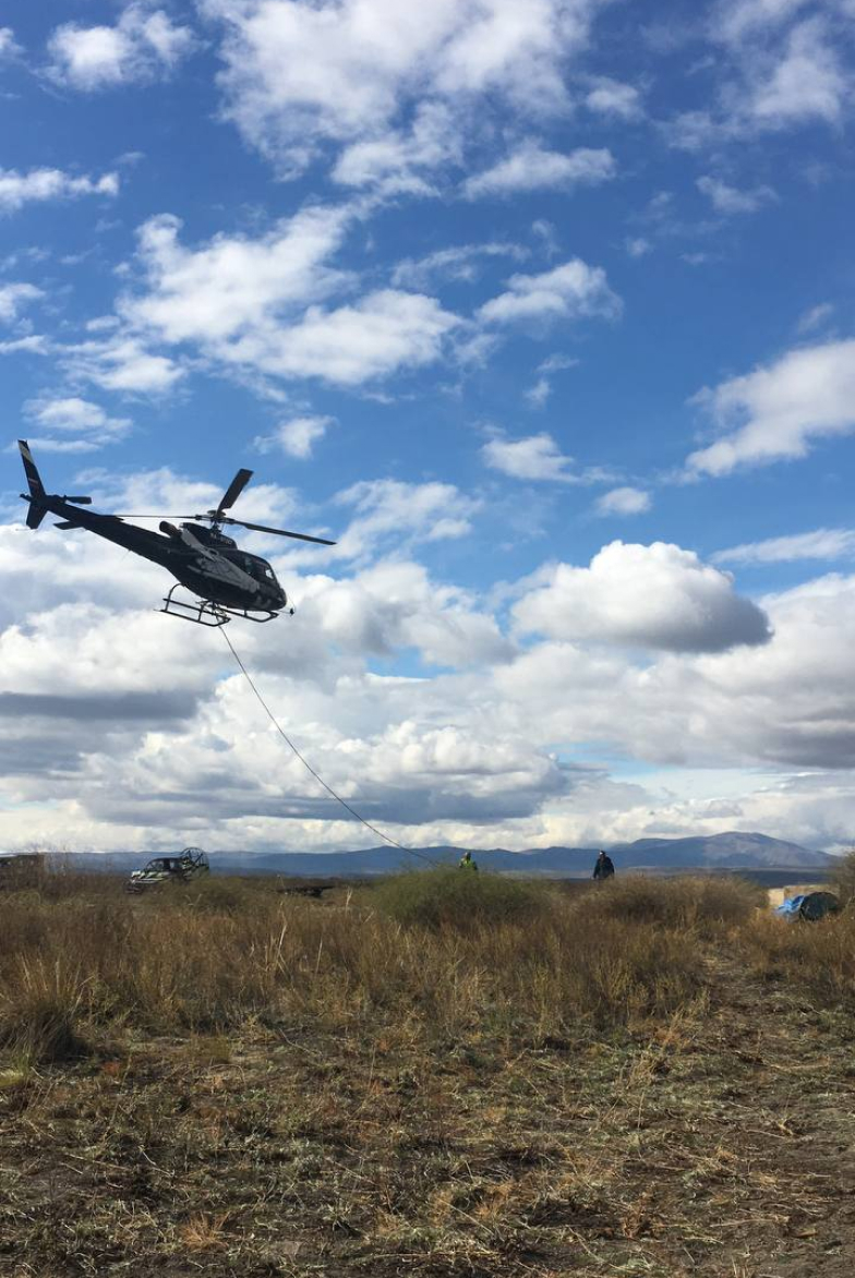
Gallery
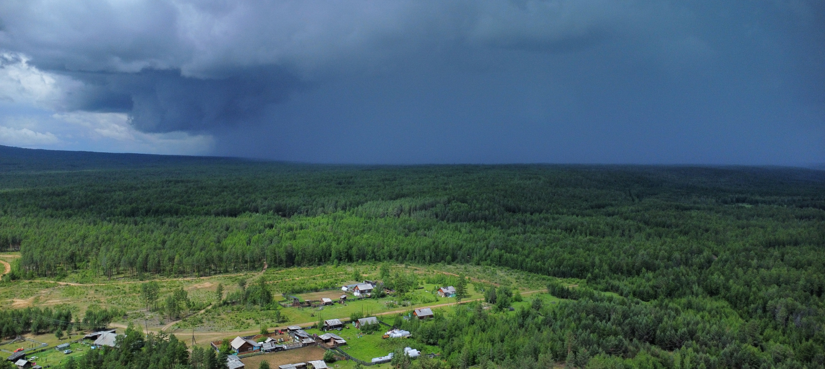
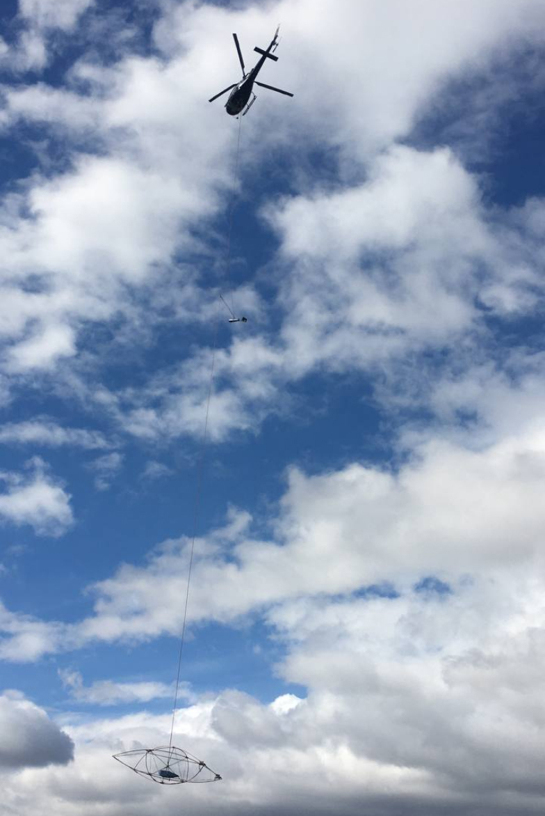
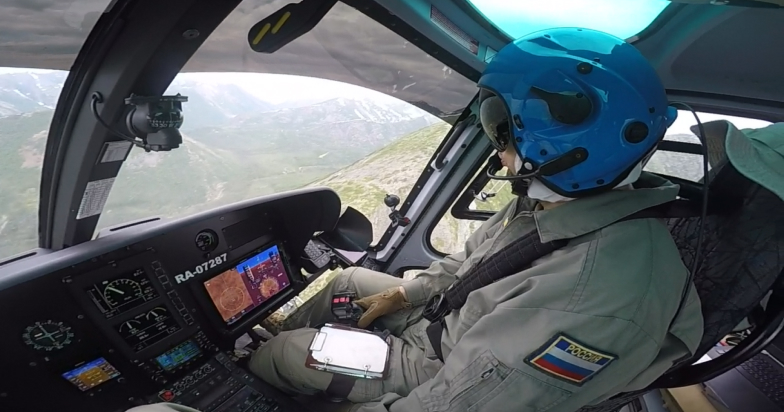
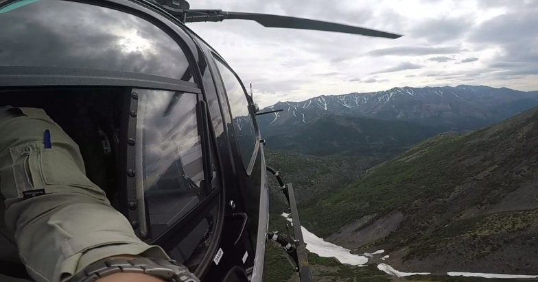
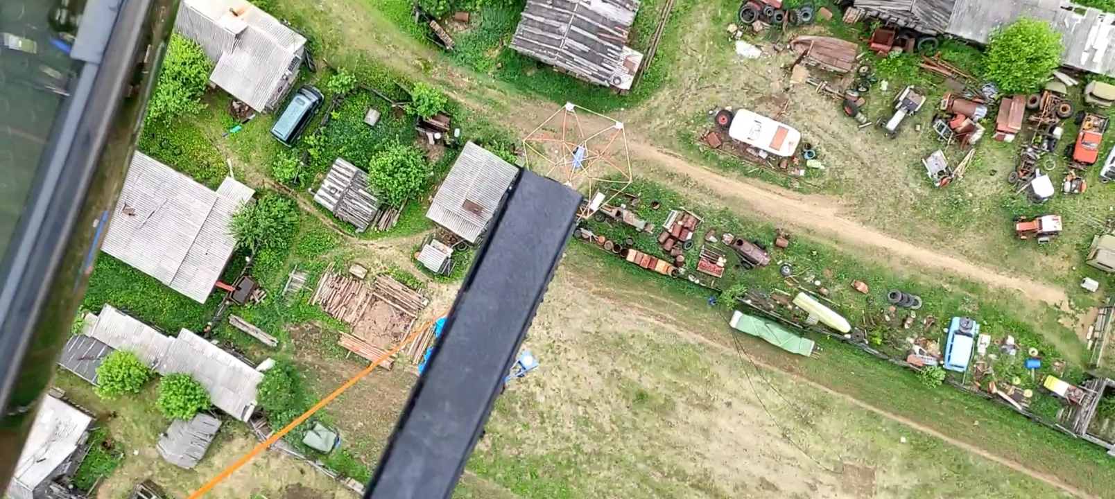
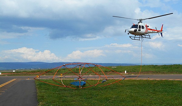
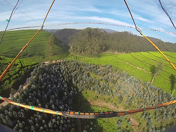
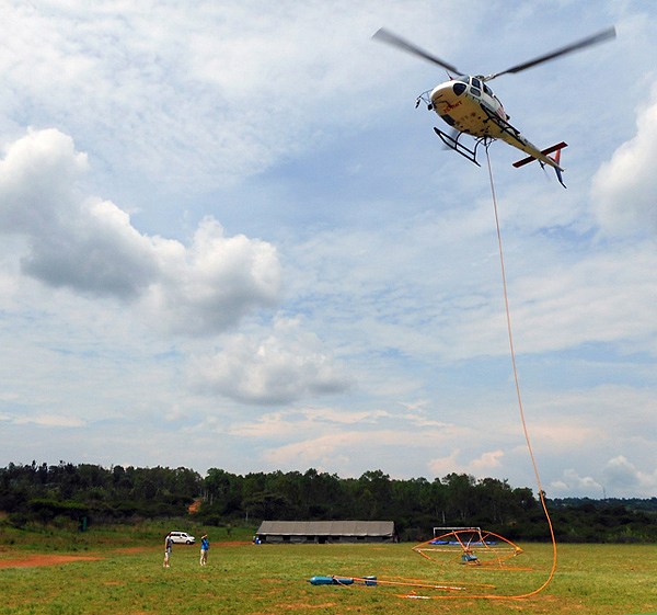
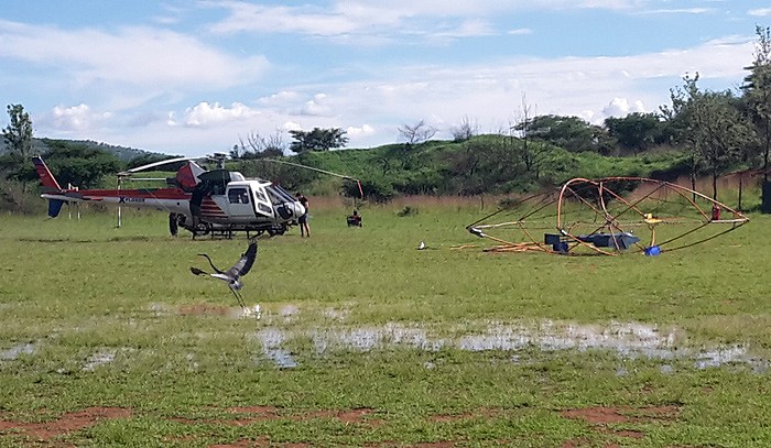
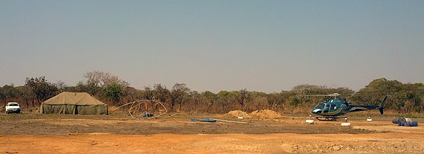
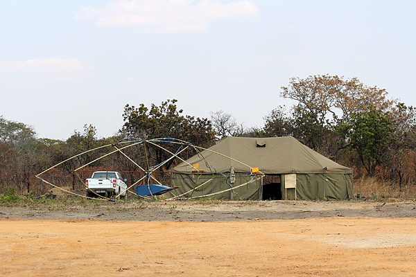
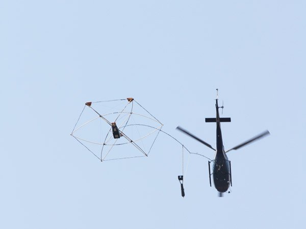
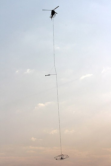
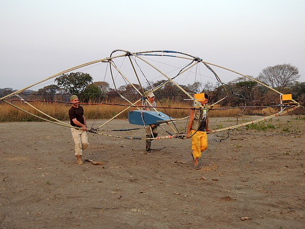
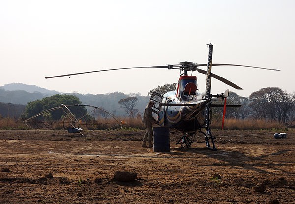
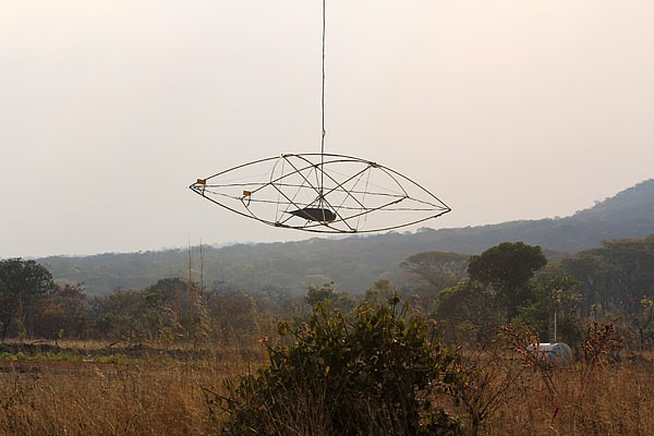
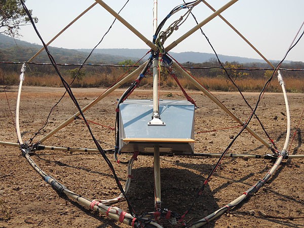
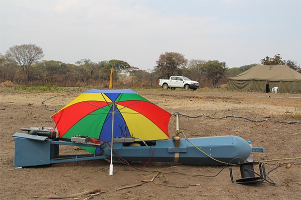
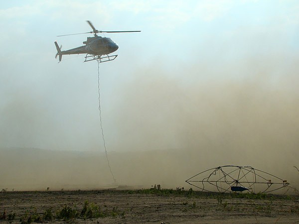
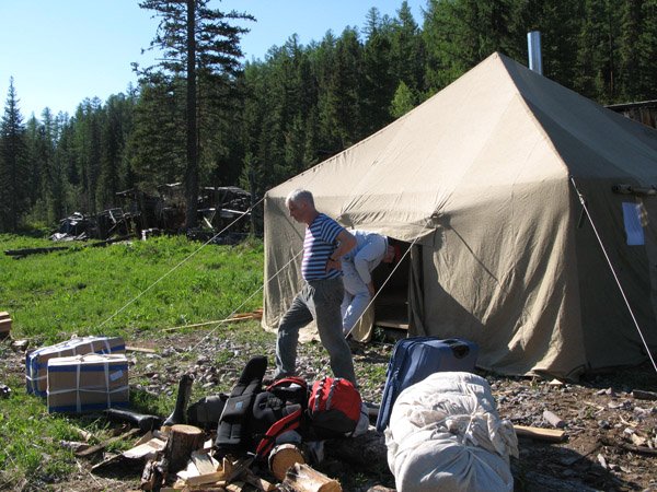
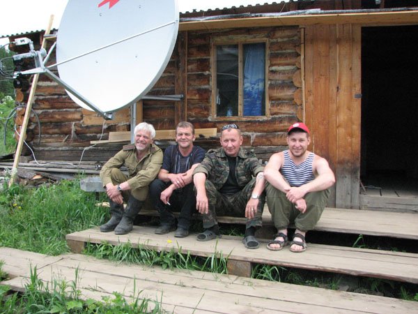
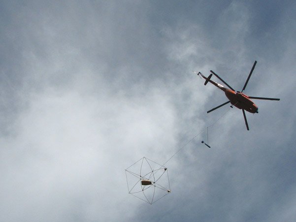
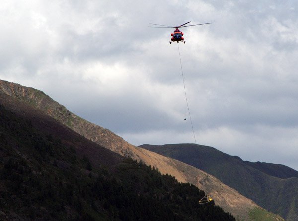
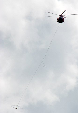
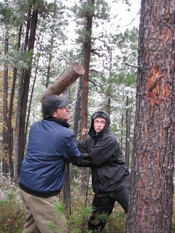
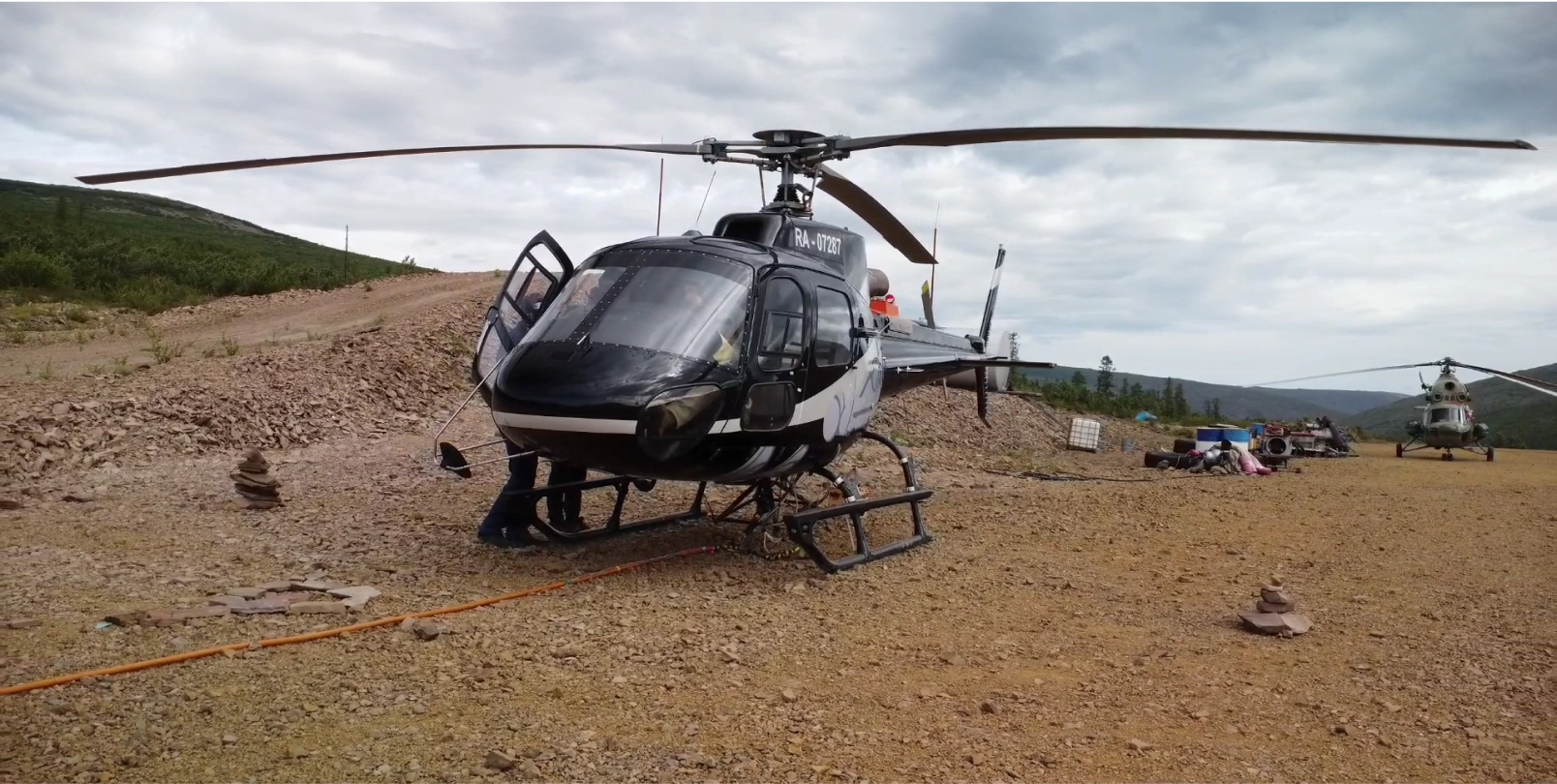
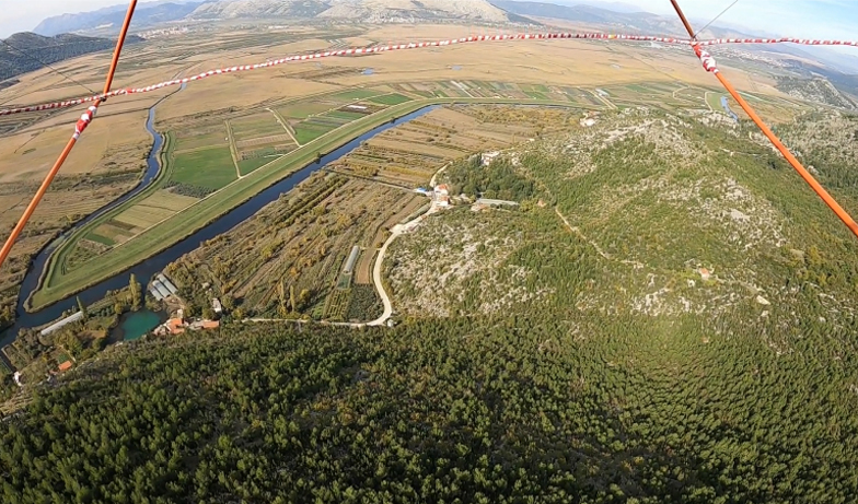
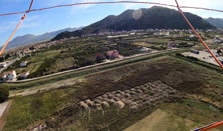
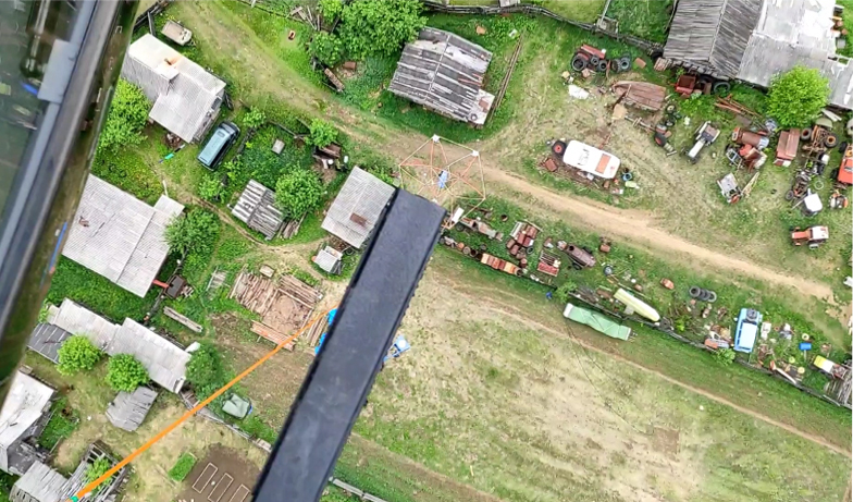
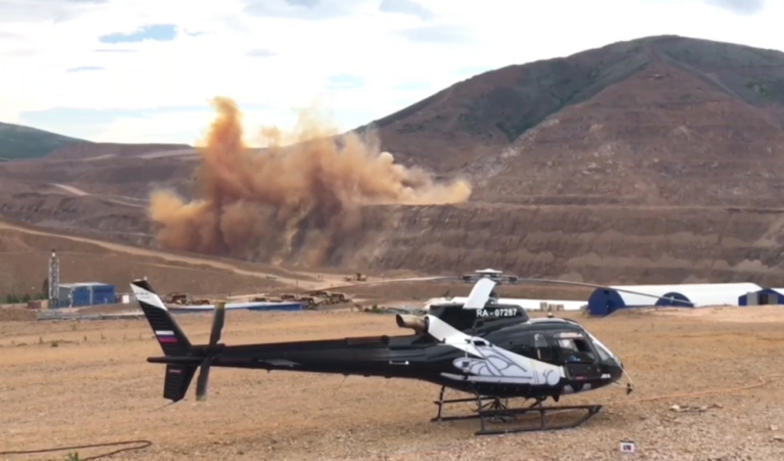
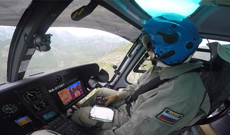
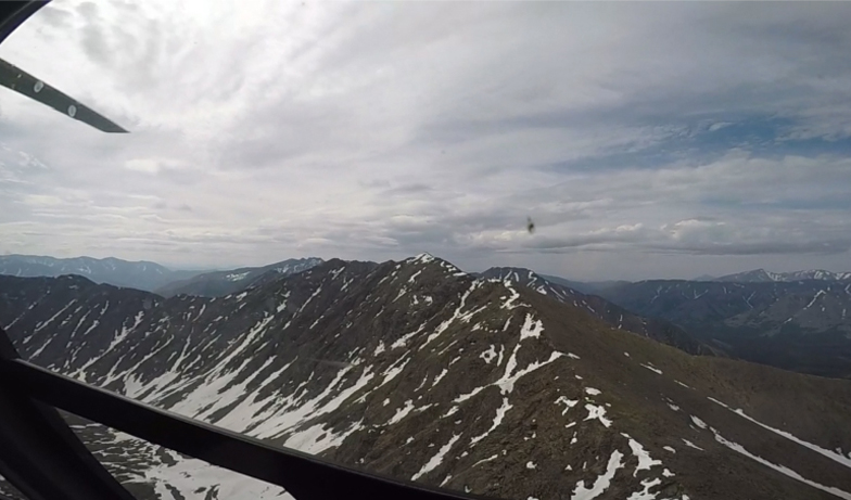
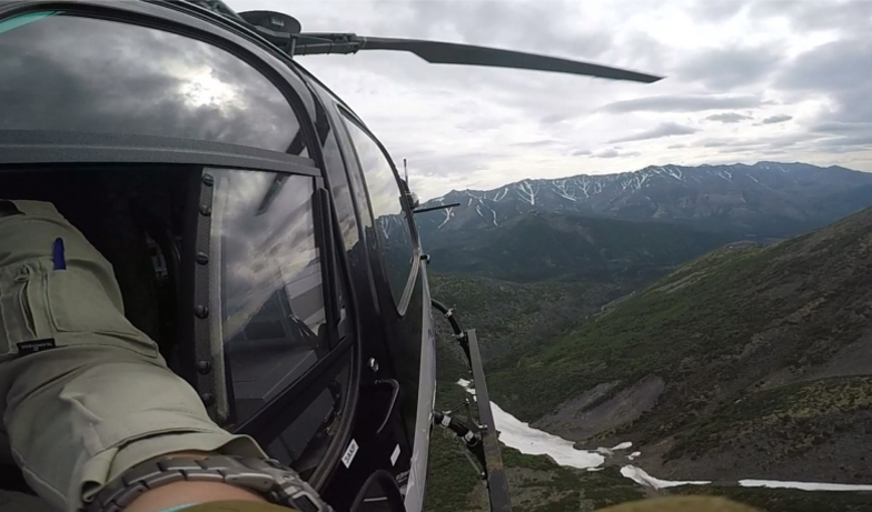
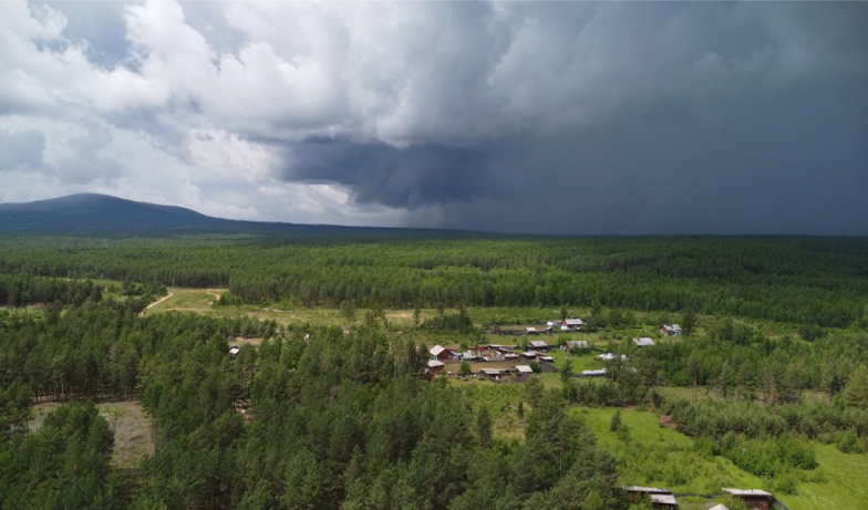
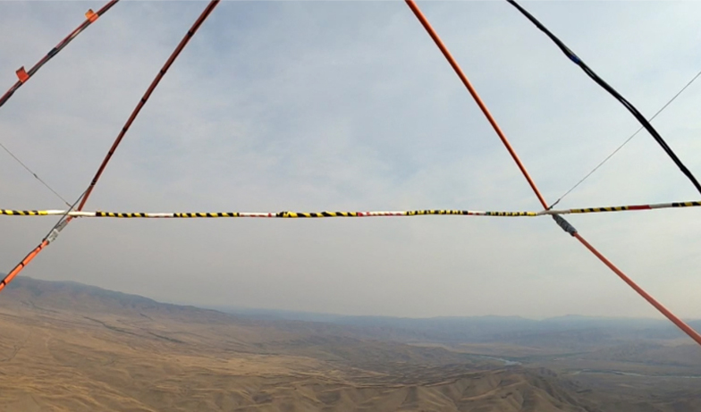
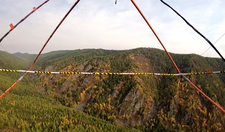
Photo from survey
General
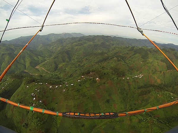
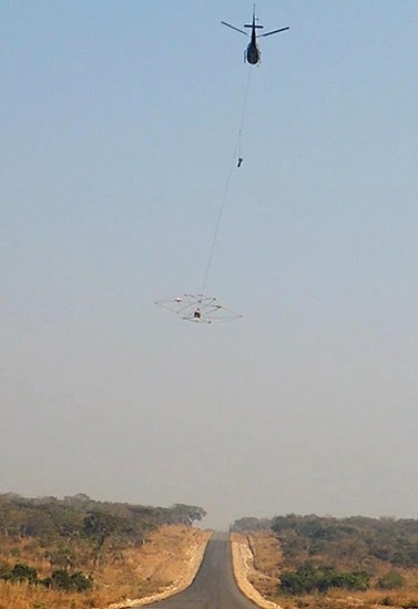
Airborne survey in Rwanda
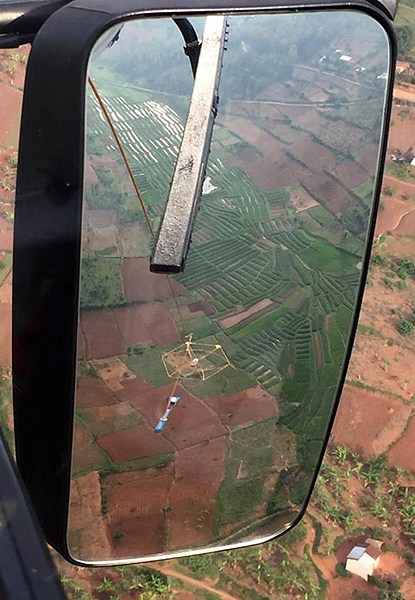
Airborne survey in Angola
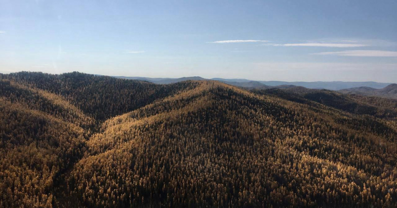
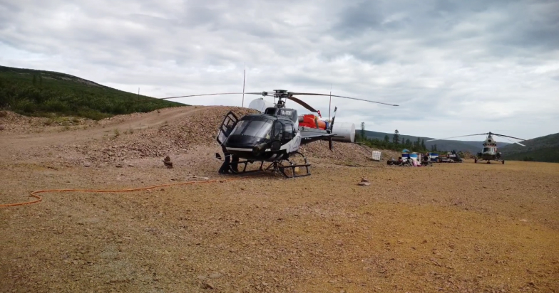
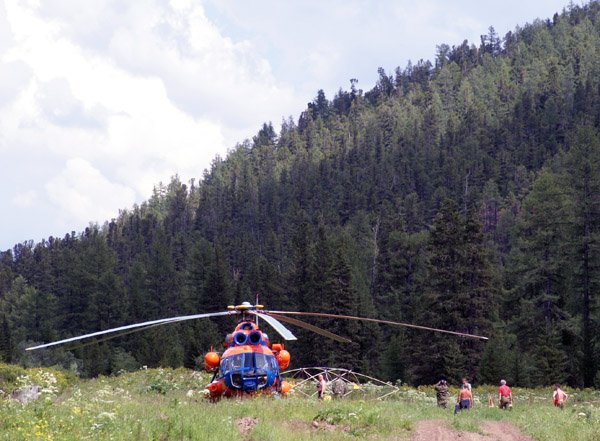
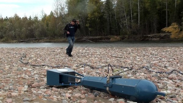
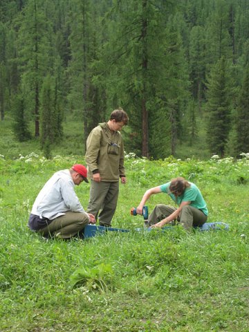
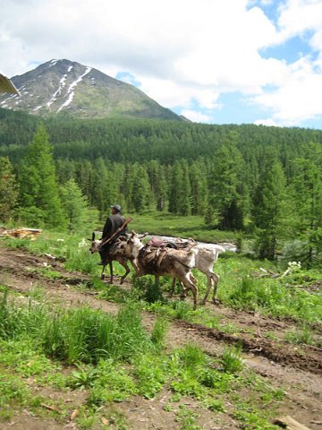
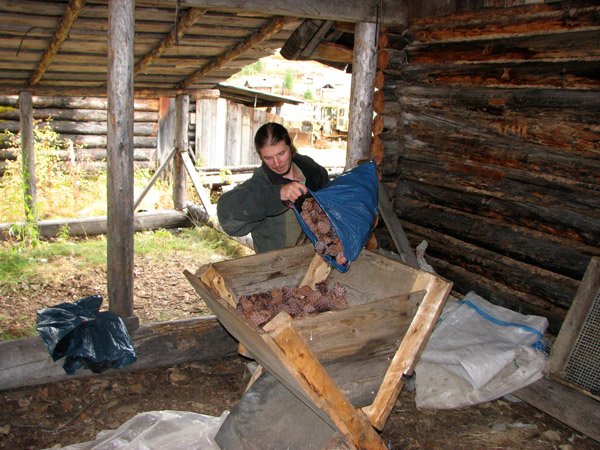
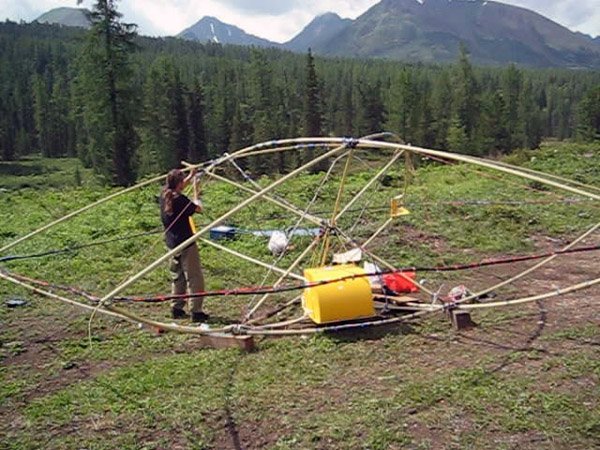
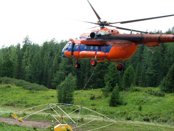
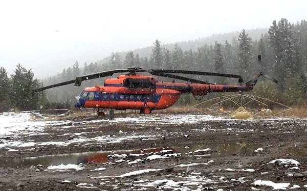
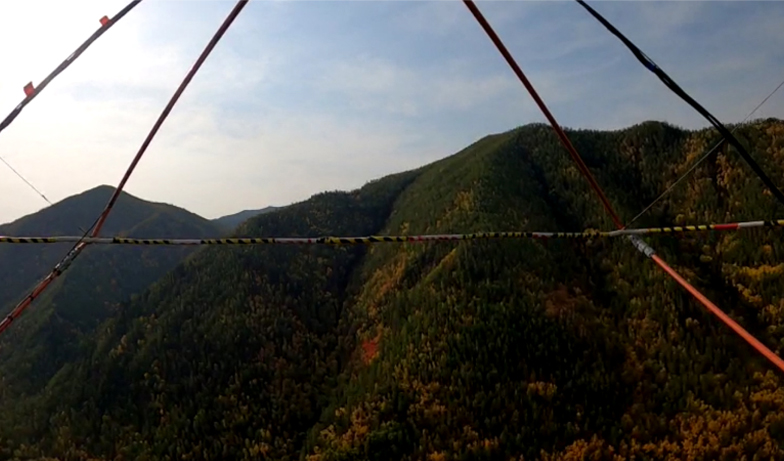
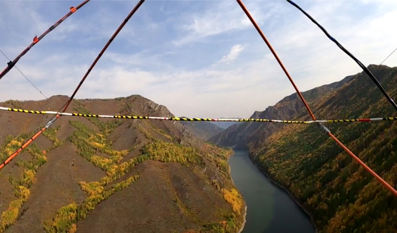
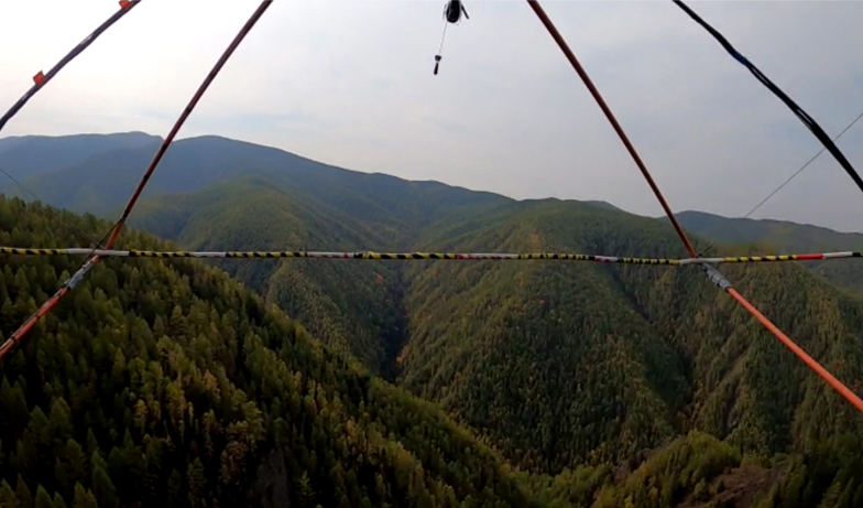
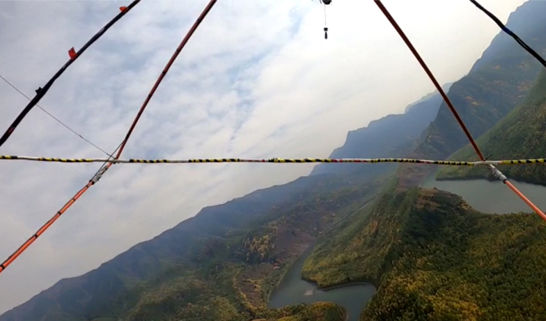
Airborne survey in Sayan Mountains
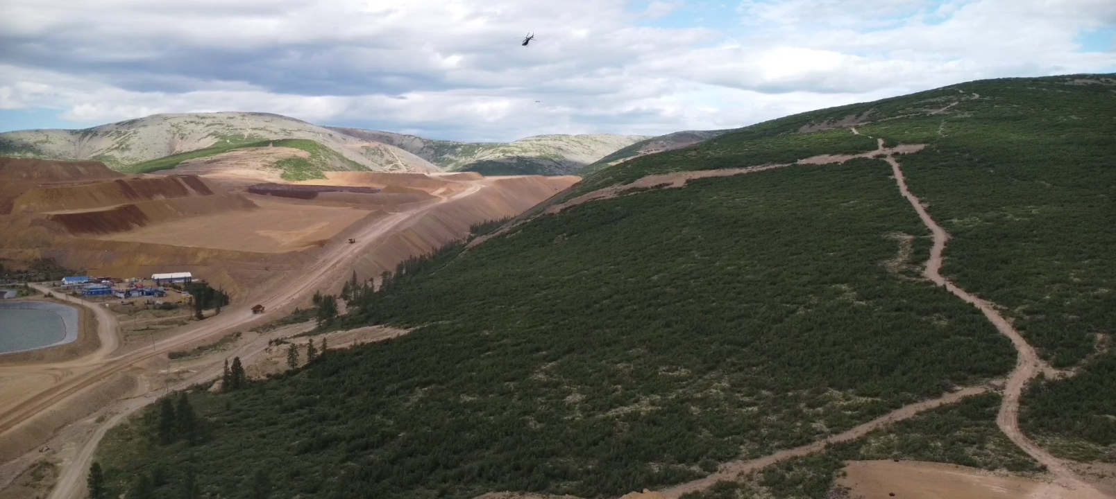
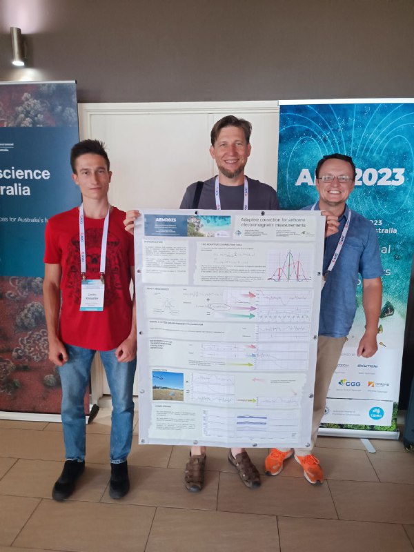
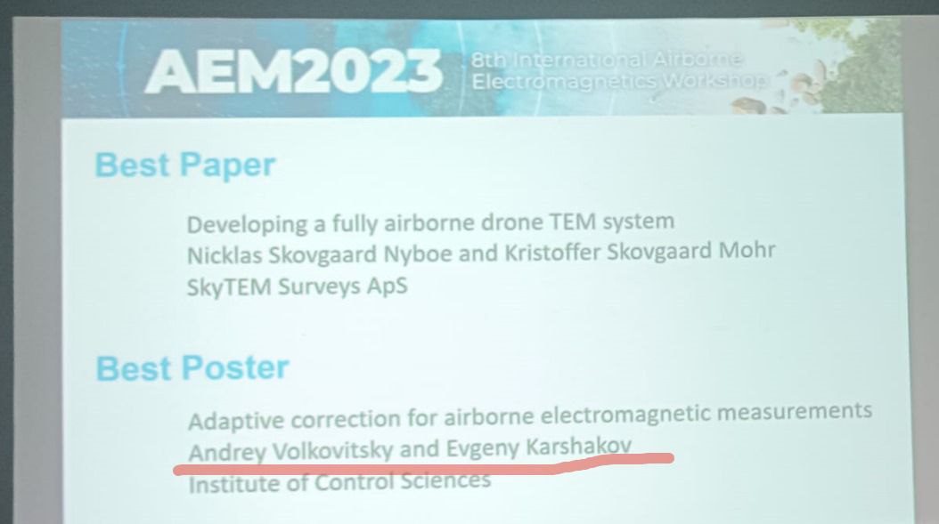
AEM2023
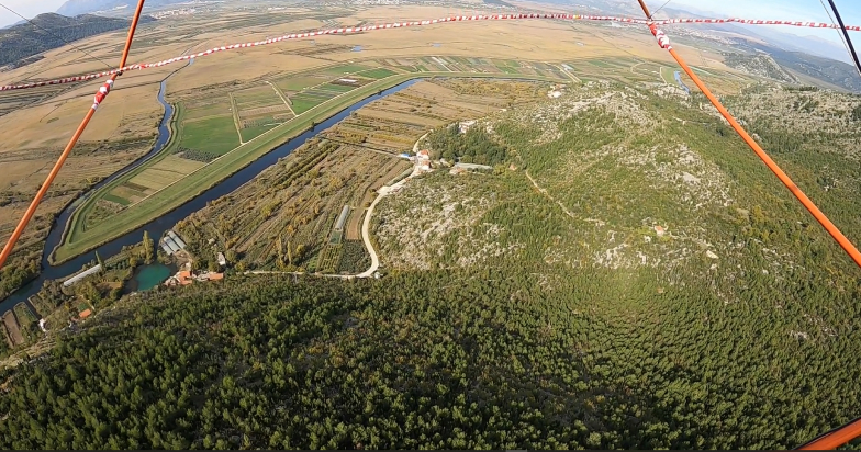
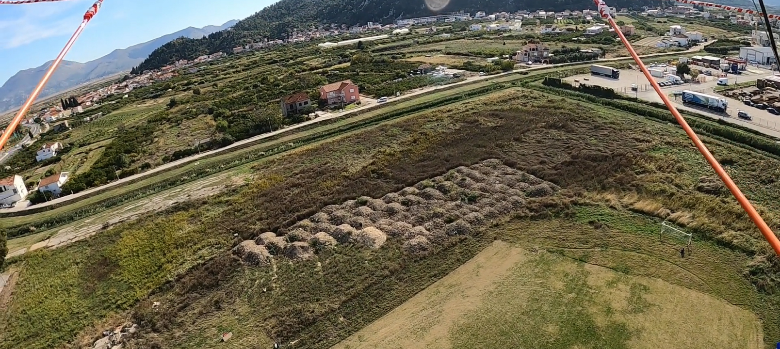
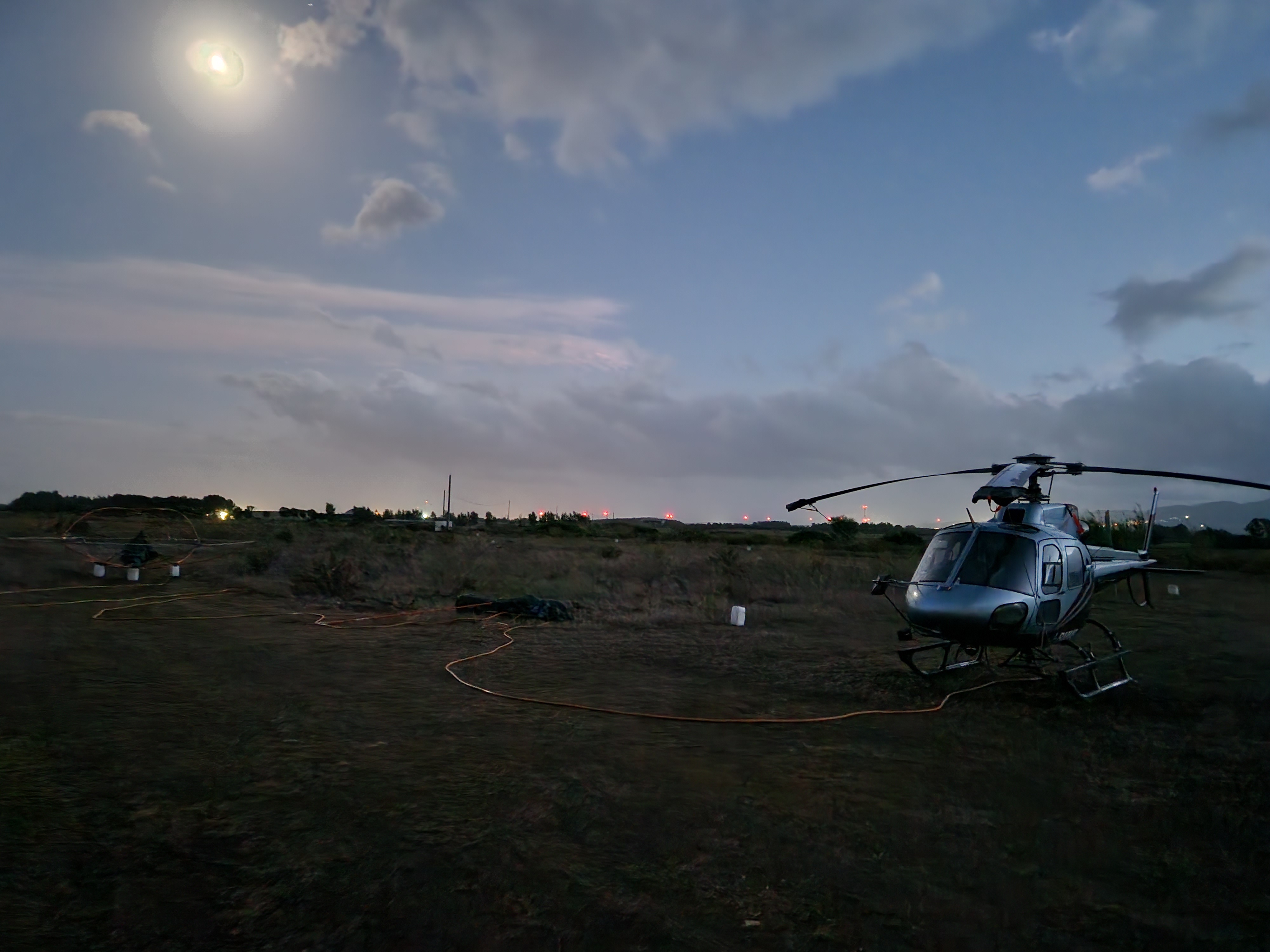
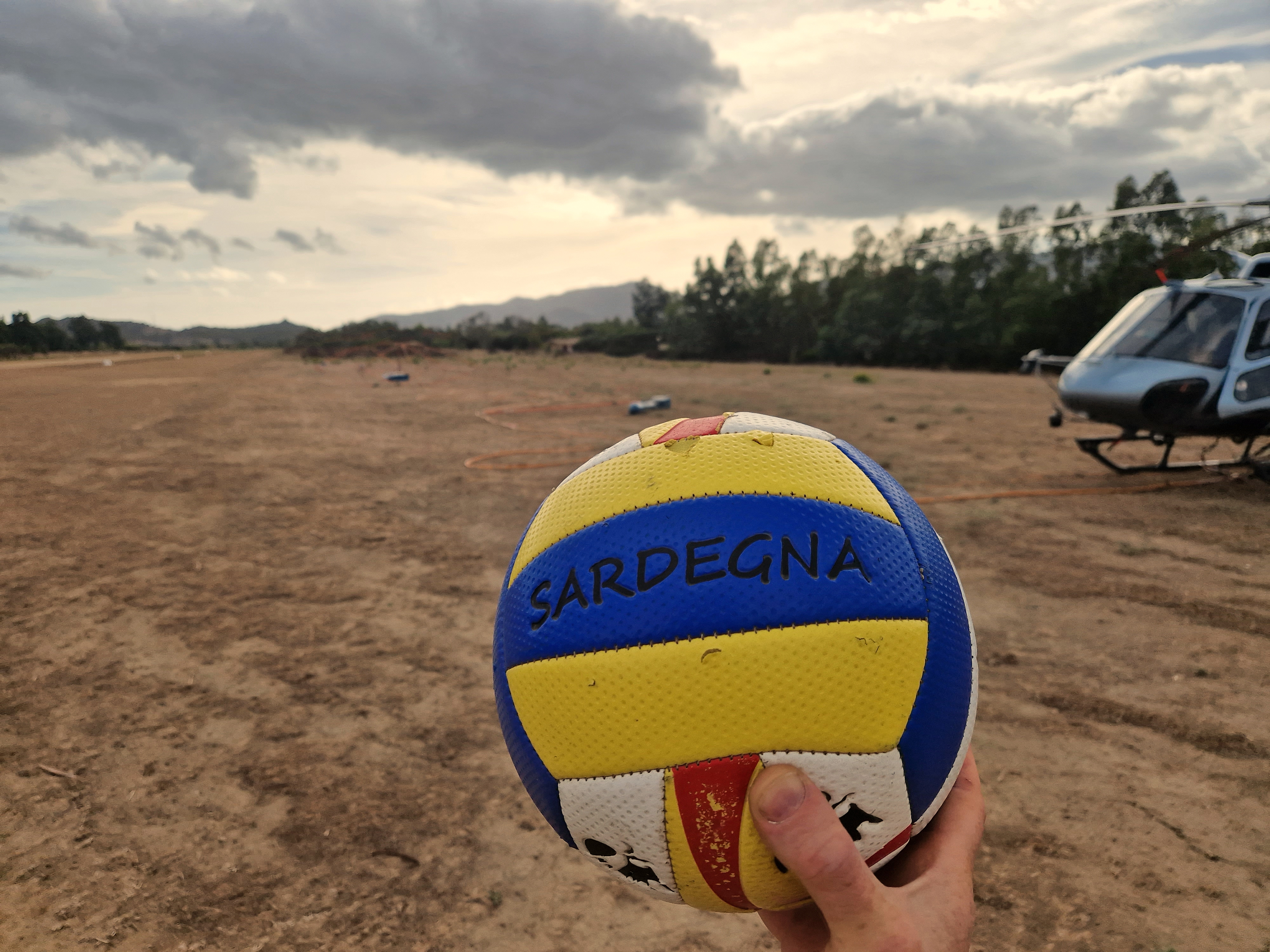
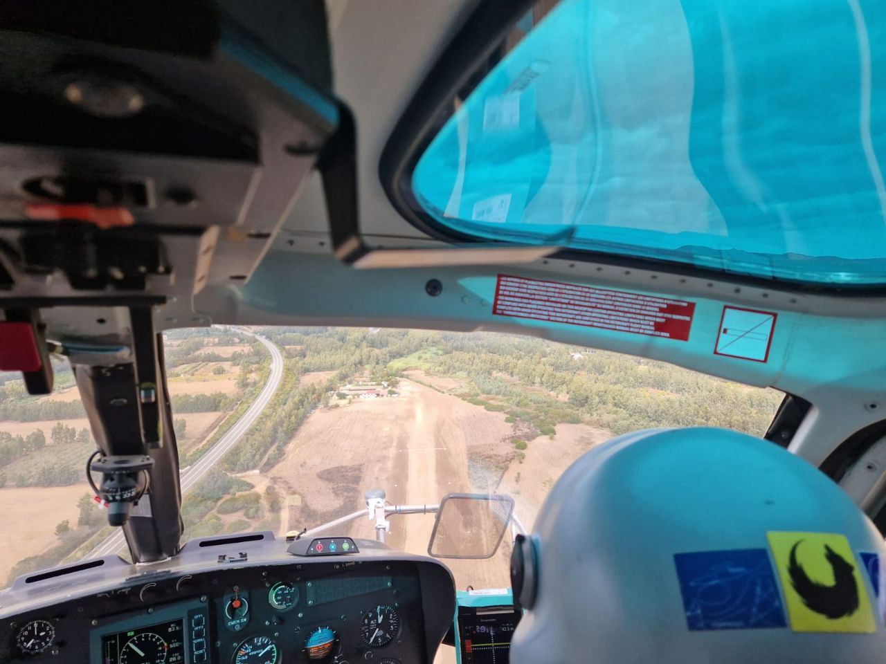
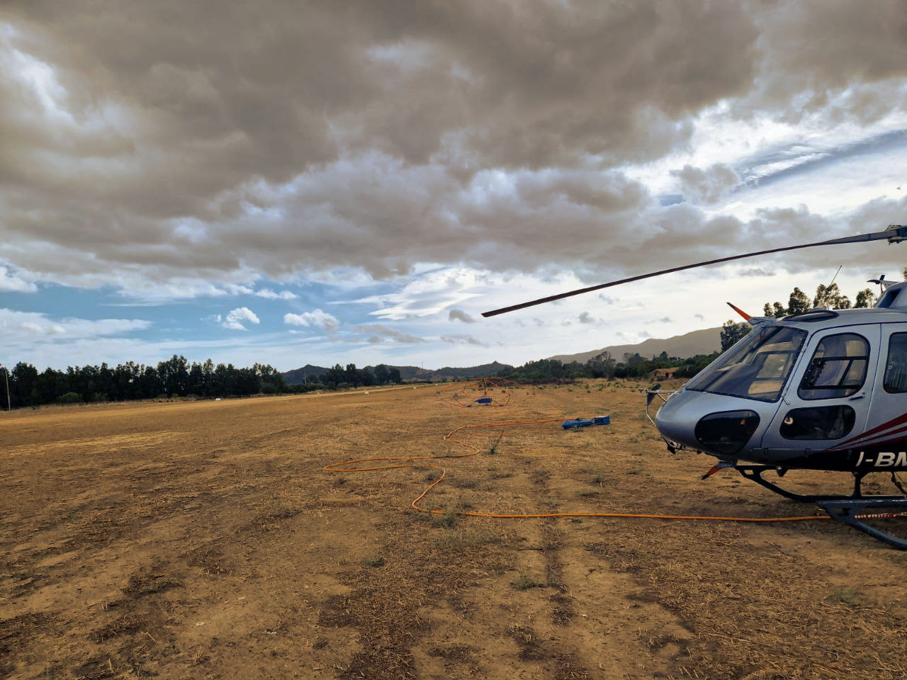
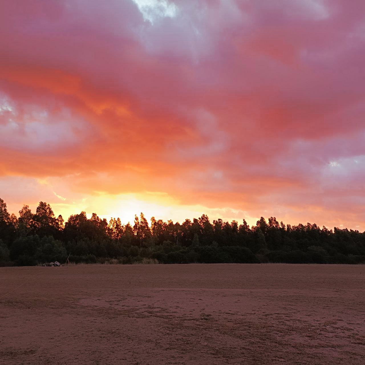
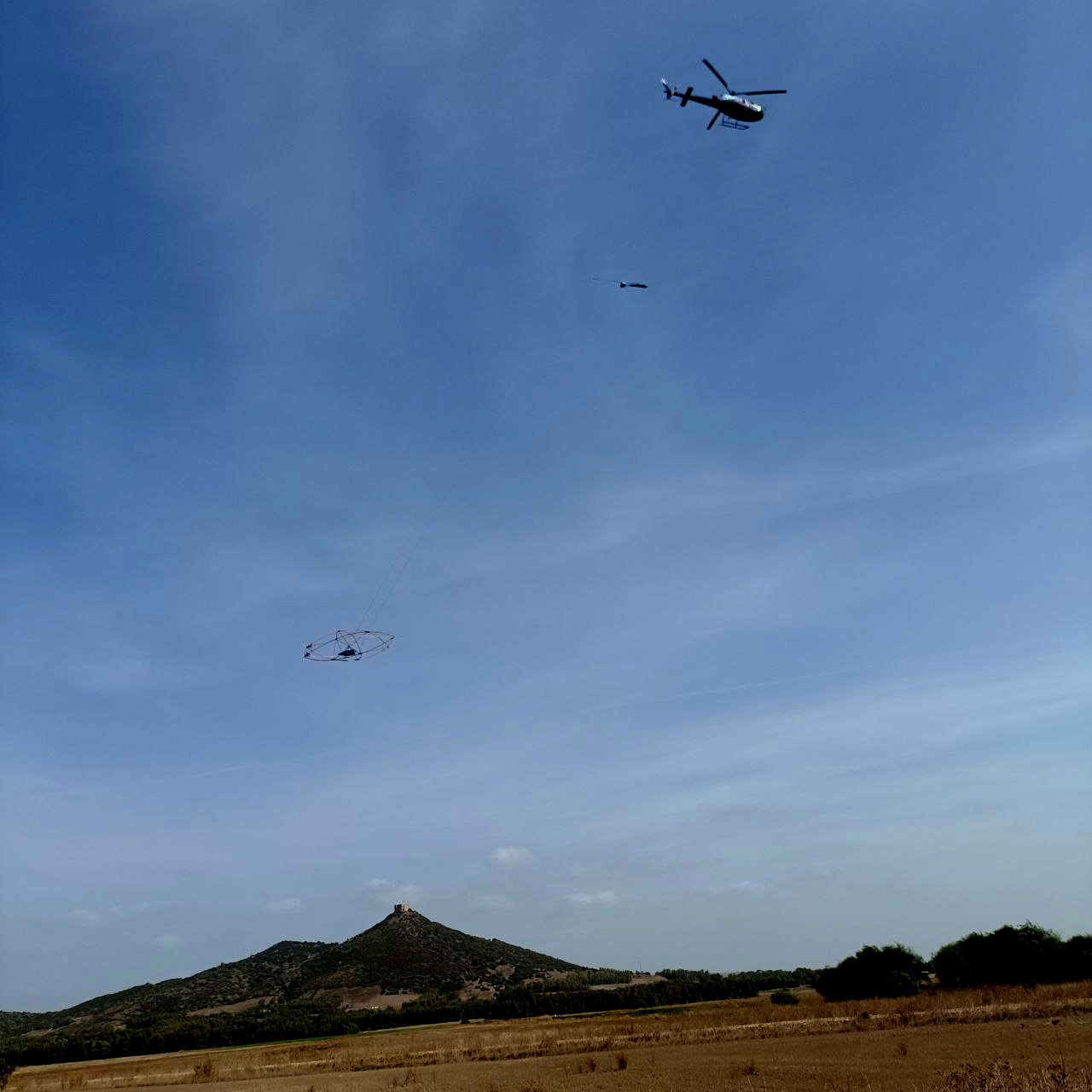
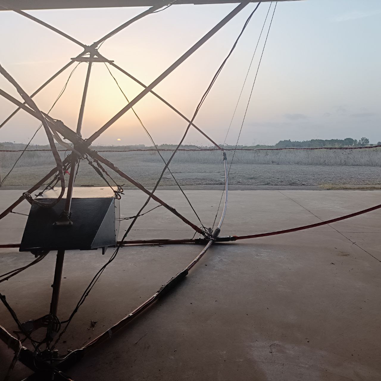
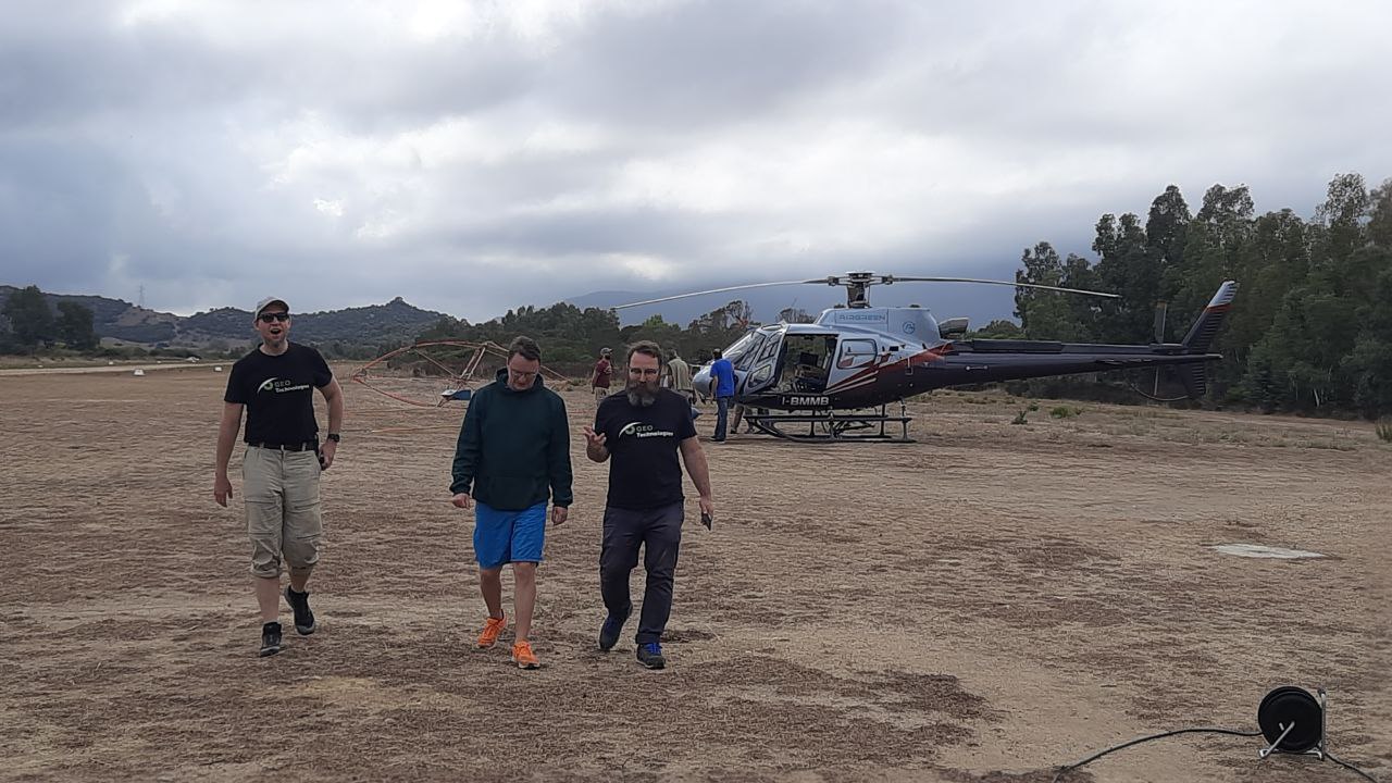
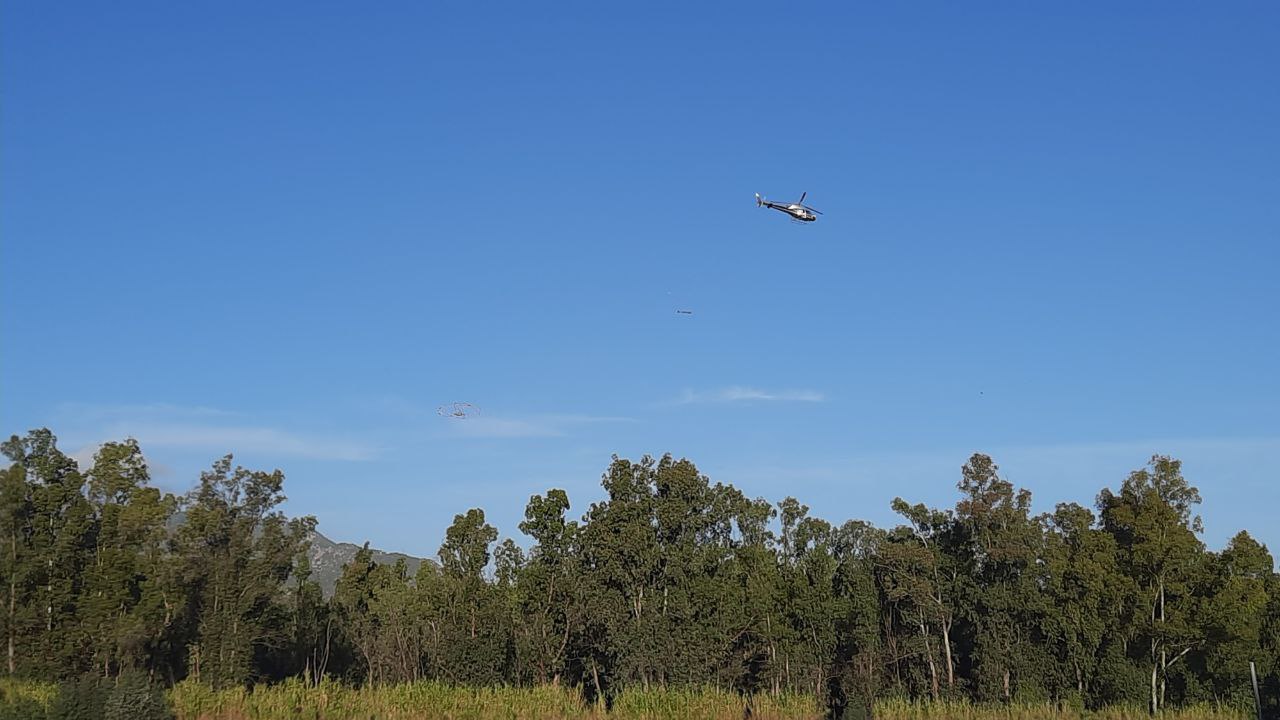
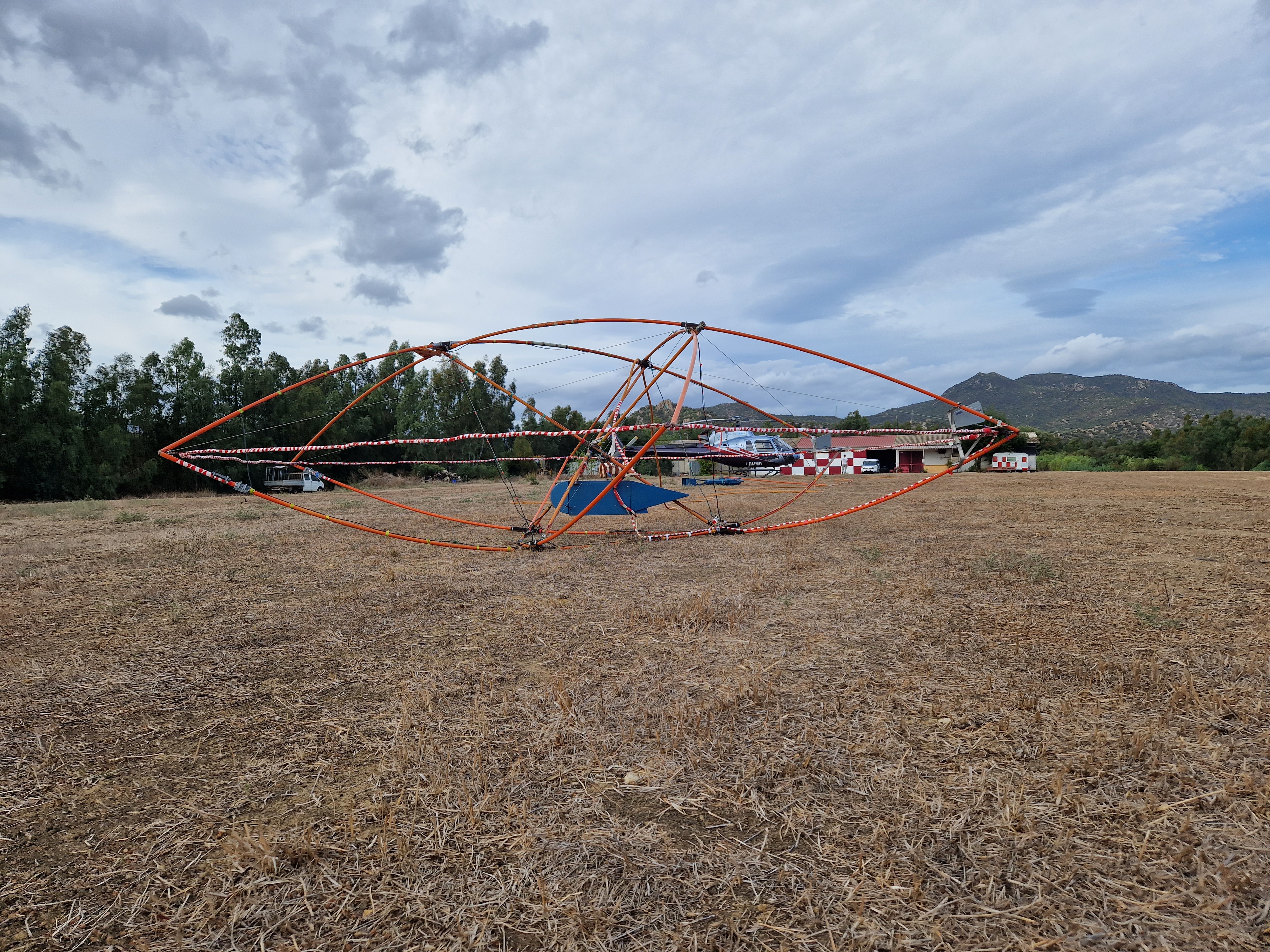
Sardegna
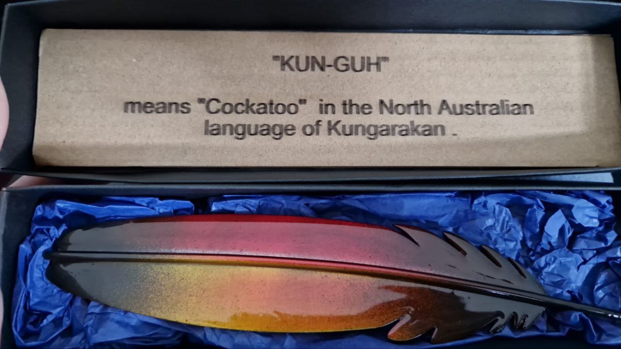
More
Video from survey
A film shooted during EM survey in Rwanda in 2016-2017, the video camera was installed at the platform of the EQUATOR system
A film about EM system EQUATOR (made in 2011)
A short film about EM system EQUATOR (made in 2011)
A film about the EM-4H system